What if you could simulate the next flood or drought before it happens?
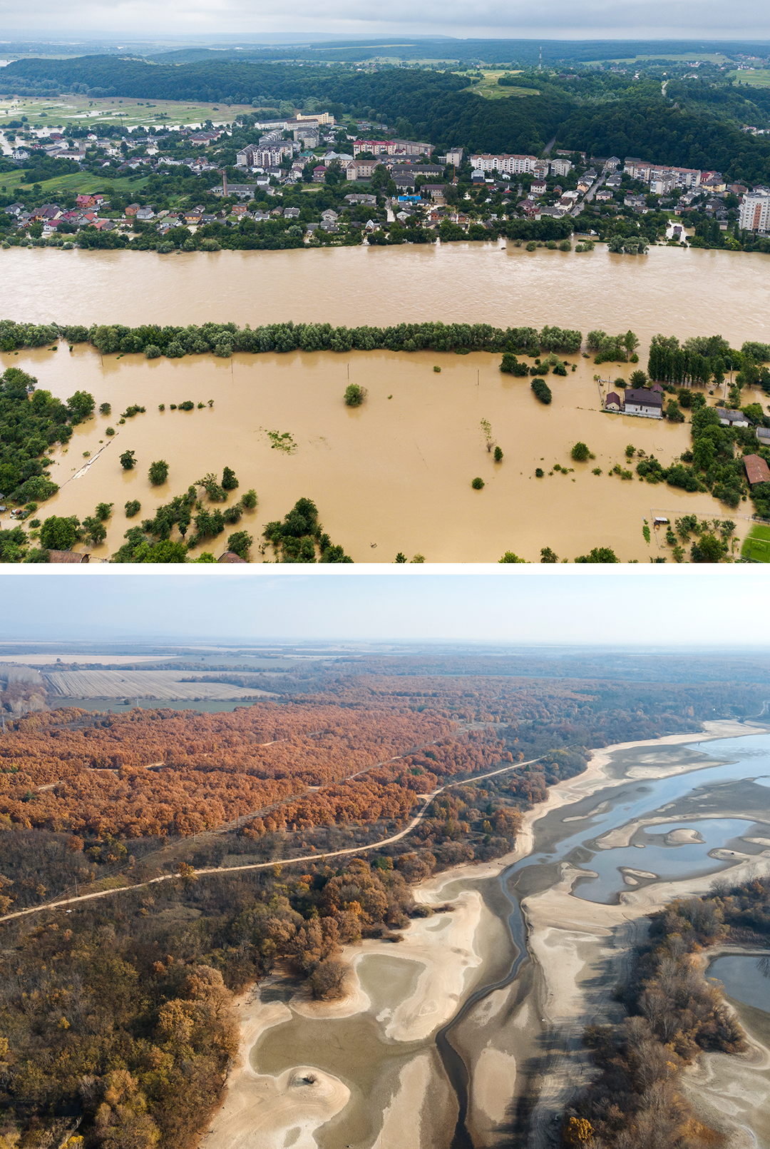
/Water scarcity is no longer limited to arid regions. Across Europe, recent droughtyears have forced shipping halts on major rivers, triggered irrigation bans, and exposed how quickly agriculture, industry, energy, and drinking water come into conflict over the same resource.
Researchers at Forschungszentrum Jülichare tackling this with a new tool: a digital twin of an entire river basin. The Solution Lab Rur-Erft combines hydrological, agricultural, and economic models into one simulation — letting water managers, authorities, and farmers test drought scenarios and explore trade-offs before they become real. A parallel project in Leipzig, the Solution Lab URBAN LE, applies the same idea to cities. Both are part of the Helmholtz Initiative "Water Security for People and the Environment"and designed to scale to other regions worldwide.
The key constraint? Input data. As Dr. Frank Herrmann from Forschungszentrum Jülich puts it: "To ensure that such decisions can be made on a sound basis, we need reliable data on water availability and water demand." Soil moisture, water levels, weather conditions — continuously measured, in real time, across the landscape. That's precisely what decentralised LoRaWAN sensor networks deliver.